What happened during the Henderson flooding
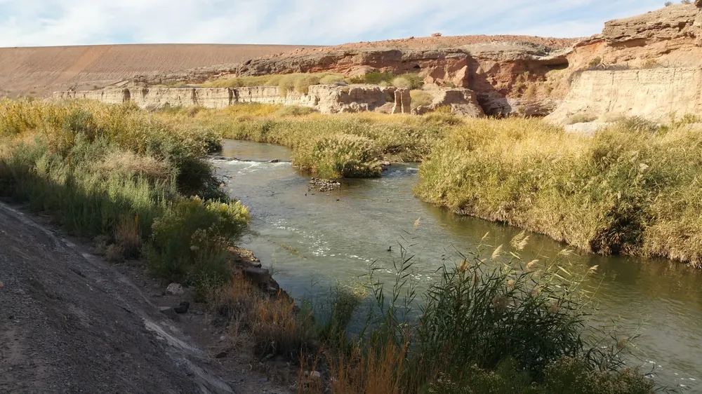
One person died after being rescued from a wash in Henderson on Friday, October 30, 2026, as flooding prompted three separate water-rescue operations. KTNV and FOX5 reported the death, attributing their accounts to City of Henderson officials. The reports place the emergencies around Lake Mead Parkway and nearby streets, rather than establishing that every part of the Las Vegas Valley experienced the same conditions.
According to the city account reported by KTNV, crews rescued four people across the three incidents. At Lake Mead Parkway and North Pueblo Boulevard, a person pulled from a wash went into cardiac arrest and was taken to a hospital, where they were pronounced dead. The reporting reviewed for this article did not identify the person. VIRVIB has not independently established a medical cause of death.
The other calls involved vehicles. Near the Lake Las Vegas entrance, crews removed two people from a vehicle that had been swept from the roadway. Near Milan and Drake streets, an occupant of a vehicle that became disabled while crossing floodwater climbed onto it and was rescued. City officials reported no injuries in those two incidents, according to the local broadcasters.
The National Weather Service’s original storm bulletin provides a separate, timestamped record of the flooding. Issued by its Las Vegas office at 3:48 p.m. Pacific Daylight Time, the preliminary report lists a 1:15 p.m. observation of swift-water rescue activity at East Lake Mead Parkway and North Pueblo Boulevard. That entry identifies its source as the public and describes substantial flowing water in the area.
A second entry, at 1:30 p.m., identifies an NWS employee as its source. It describes East Lake Mead Parkway near Lake Las Vegas Parkway as flooded and impassable, with vehicles backed up in both directions and large rocks and debris on the road. The bulletin says mud and debris would require scraping. Those are recorded impacts, not a measurement of rainfall across the entire city.
KTNV reported that the road east of Lake Las Vegas Parkway remained closed as of 3:30 p.m. Friday. That timestamp matters: it does not establish the road’s status hours later. The NWS bulletin corroborates dangerous road conditions and rescue activity, while the subsequent city accounts carried by local news outlets provide the reported human toll.
Sources: NWS Las Vegas — original preliminary storm report issued October 30 at 3:48 p.m. PDT ↗ · NWS bulletin — preserved verbatim public-domain text, 302248 LSRVEF ↗ · KTNV — original city-spokesperson reporting on four people and three rescues ↗ · FOX5 — independent city-official account of the fatal rescue ↗
Why a desert storm can become a road emergency
A desert location does not make floodwater harmless. The National Weather Service’s explanation of Nevada flooding describes a local mechanism that can accelerate runoff: the valley’s alluvial fans contain calcium carbonate, which can form a nearly impermeable layer called caliche after wetting and drying. Rain that cannot readily soak into the ground can enter natural drainage channels. Soil conditions and the distribution of rainfall help determine where that runoff travels.
That background explains the region’s vulnerability; it is not a completed forensic analysis of Friday’s storm. Establishing precisely how much rain fell over each contributing drainage area, or whether a particular structure affected the flow, requires measurements and an event review. The evidence checked here documents impacts at named locations without assigning an unverified cause to a drainage failure or declaring the storm a record event.
NWS guidance also notes that flash flooding can develop within minutes to hours and can occur where rain is not falling at that moment. A road crossing may therefore become hazardous even when a driver’s immediate view of the sky appears reassuring. A wash is a route for moving water through the landscape, not a reliable indication that conditions on the next stretch of road will match those behind a vehicle.
The region has a documented history of damaging flash floods. In its account of July 8, 1999, the NWS describes widespread street flooding and exceptionally high flows in normally dry washes and detention basins. That earlier event caused two deaths and extensive property damage. It provides historical context for the risk, but the available October 30 reports do not support equating Friday’s storm with the severity or recurrence interval of the 1999 disaster.
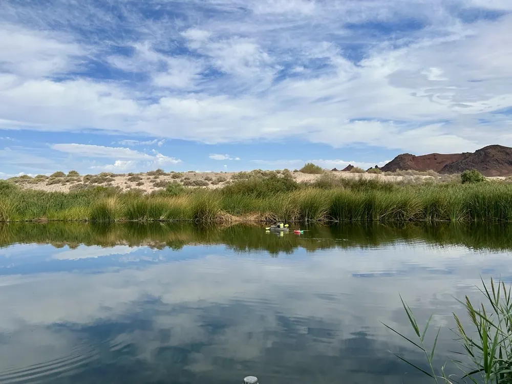
Water measurements answer a different question from rescue reports. The USGS photograph accompanying this section shows stream-gaging fieldwork at Las Vegas Wash monitoring site 09419749, published in August 2026. It illustrates how the waterway is studied; it does not show a Friday rescue or supply a flow measurement for this storm. The USGS identifies that streamflow information as important to managing the valley’s water resources.
For travelers, Friday’s debris report is especially consequential. The obstruction described by the NWS included rocks, mud and material that required removal. A lower water level alone would not establish that a damaged or debris-covered road was ready to reopen. Confirmation from the agency managing the road is more useful than treating the end of visible rainfall as an all-clear.
Sources: NWS Las Vegas — original preliminary storm report issued October 30 at 3:48 p.m. PDT ↗ · NWS — Nevada flood history and Las Vegas runoff background ↗ · NWS — watches, warnings and advisories explained ↗ · USGS — streamflow measurement on Las Vegas Wash ↗
What residents and travelers should check next
Start with the location and time attached to an alert or closure. Nevada 511 provides road-condition information, and the NWS Las Vegas office links to current hazards, forecasts and local storm reports. Consult those services and city instructions before a trip through the affected area. This article records the October 30 event; it is not a live road-closure map and does not certify that a particular crossing is open.
Weather terms also convey different levels of urgency. Under NWS definitions, a flood watch means conditions favor flooding, so preparation is warranted even though flooding is not certain. A flood warning means flooding is occurring or imminent. A flash flood warning calls for action because a rapidly developing flood is imminent or underway. An advisory describes a lower-level expected flooding impact that can still cause significant inconvenience and become dangerous if people do not use caution.
Those definitions help readers interpret the latest official message for their own location. They should not be used to turn an older bulletin into a warning that remains active indefinitely, or to assume that an alert for another county covers a Henderson neighborhood. Check the named area and validity period on the actual notice rather than relying on a broad social-media description of “Las Vegas flooding.”
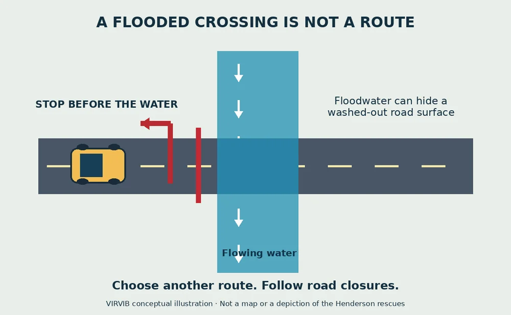
The NWS’s road-safety guidance is direct: do not drive around barriers or enter a flooded roadway. Water can conceal a washed-out road surface. Its guidance says six inches of fast-moving water can knock an adult down and about a foot of rushing water can carry away many cars. These figures describe danger, not a depth below which a person can safely test a crossing. The agency advises avoiding floodwater rather than judging a route by apparent depth.
For people in flood-prone or low-lying areas, NWS guidance calls for moving to higher ground and following evacuation orders promptly. A person trapped by moving water should move to the highest possible point and call 911 if possible. The agency also warns against entering water that could be electrically energized, including rooms with submerged outlets or cords. These are general official precautions, not a report that an evacuation order or electrical incident occurred in this Henderson event.
The next useful updates are concrete ones: the condition and reopening of affected roads, any revised city account of the rescues, and additional verified weather observations. For now, the record establishes dangerous flooding along a named road corridor and three reported rescue operations, including one person who later died. It does not establish a valley-wide death toll, a record rainfall total or a reopening time.
Sources: NWS — watches, warnings and advisories explained ↗ · NWS — floodwater and road-crossing safety ↗ · NWS — precautions during a flood ↗ · Nevada 511 — current road-condition service ↗ · NWS Las Vegas — current local hazards and forecasts ↗
Why this story is in the editionGoogle Trends U.S. RSS checked October 31 included “las vegas flooding,” linking to local weather and rescue coverage. Selected for verified local impacts and public-safety relevance. No search rank, volume or percentage growth is asserted.
Prepared with AI assistance. Source-based reporting checked on 2026-10-31. This article does not update automatically. Read our editorial standards.